

Our Services

How can we help you with your next project?
Our comprehensive suite of drone services empowers homeowners, business leaders, and construction professionals alike to elevate productivity and safeguard investments. Through cutting-edge technologies like drone mapping and surveying, we unveil the unseen details of construction sites, fostering precise planning and timely project execution.
Our commitment extends to asset surveillance, ensuring constant monitoring of critical structures, and property inspections, conducted swiftly and safely through drones.
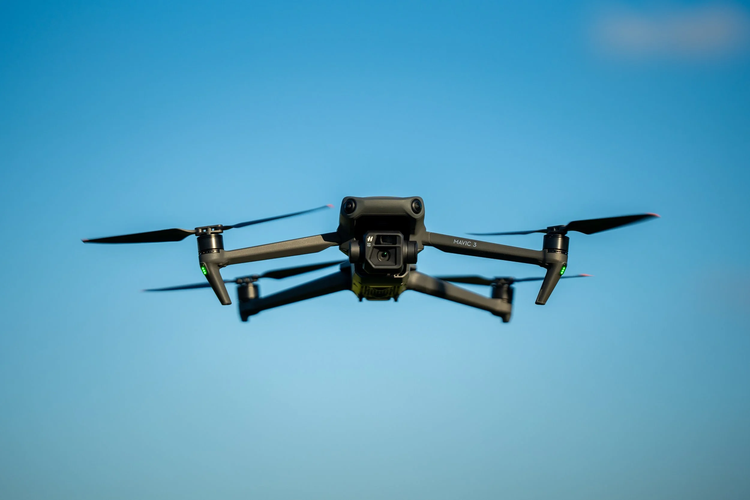
True Image Drone Solutions is your strategic partner in leveraging drone videography to enhance productivity, minimize risks, and gain a comprehensive perspective that transforms the way projects are executed.

Roof Inspections

Rooftop aerial photography is a valuable tool that can significantly enhance decision-making for various projects. Whether you need photos for an insurance claim, repairing a roof, installing solar panels, or working on other rooftop-related tasks, understanding the condition of rooftops can provide actionable insights. Here’s how rooftop aerial photography from a True Image Drone Solutions drone pilot can benefit you:
Aerial Prospective, Cost Effective, Safety, Efficiency, Data Collection,
High Quality Imagery, Solar Panel Inspection, Insurance Claims,
Progress Monitoring

Progress monitoring is an essential practice for project managers, and drone data collected throughout the project's lifespan is a valuable tool for this purpose. Regular progress updates provided through aerial drone imagery can help keep the project on schedule and prevent it from exceeding the budget. Additionally, drone imagery can be shared with project managers, stakeholders, and investors who are interested in tracking the project's progress. Cloud-based drone software and digital sharing platforms make it easy to compile progress reports with drone images and share them securely, quickly, and efficiently.
Stockpile Measurements

Drones have the ability to measure stockpiles and aid in inventory counts with greater accuracy than traditional methods. Drone mapping software can stitch together images to create maps and take measurements such as volume, density, and tonnage. This precise information can be used to maintain up-to-date inventory counts and ensure that worksites are adequately stocked with necessary materials. The speed and real-time data processing capabilities of drones allow for more frequent assessments of stockpiles without increasing costs. This can lead to a reduction in unnecessary and overestimated material and supply orders, resulting in less waste and cost savings.
Mapping & Surveying

Drones are capable of using visual data to create various types of maps, such as 3D orthomosaic, thermal, and LiDAR maps, which can reveal important details about a construction site that may not be visible to the human eye or from ground level. Orthomosaic maps are particularly useful for gathering measurements, as they provide uniform images that are corrected for topographic relief, camera tilt, and distortions in camera optics. Thermal maps capture infrared light, allowing for the detection of heat sources on a construction site, which can be used to identify issues such as rooftop cracks or leaks. LiDAR maps, created using light detection and ranging technology, are highly precise and ideal for 3D modeling, as they can pick up even the smallest details that other types of drone maps may miss.
Inspections

Hiring a drone pilot to inspect construction sites significantly enhances the speed and reliability of communication among workers. With the capability to capture pictures and videos, multiple workers can review the status of the worksite and discuss potential issues with ease. Moreover, drone inspections are safer and more cost-effective than conventional inspection methods. Instead of sending workers into hazardous or dangerous areas, drones can be deployed for inspection purposes. Inspection reports generated by drones are less prone to human error. Additionally, the cost of renting expensive equipment such as cranes and manned planes, which are otherwise required for obtaining a comprehensive view of the worksite, can be significantly reduced.
Asset Surveillance

Asset surveillance can be employed to monitor the condition of critical structures and assets on-site. In addition to tracking the progress of a project, drones can also be used to inspect all equipment and assets on-site. They can be utilized to examine expensive equipment and tools to ensure that all items are accounted for and free from visible damages. Once the construction work is completed, a drone pilot can inspect the buildings for cracks, leaks, or other defects. They can also scrutinize the delivery drop-off points to verify that materials are being delivered on time and to the correct locations. This leads us to the final example of data that drones can provide: material reporting and logistics.